
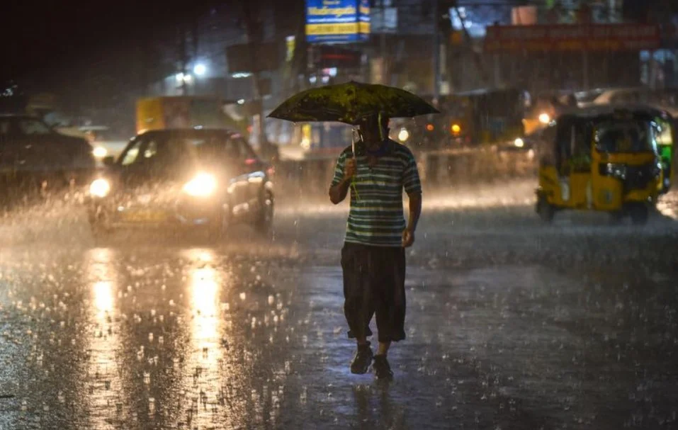
Chandigarh, July 7: The India Meteorological Department has forecast an intensification of monsoon activity across Punjab and Haryana, warning of heavy rain and thunderstorms at isolated places over the next seven days. Weather officials indicated that the most intense precipitation is likely to occur during the early part of the week, specifically between July 7 and July 9, followed by more scattered showers through July 12.
The incoming rain is expected to bridge a stark regional imbalance that developed during the first six days of July. Highlighting the current climate data, an IMD meteorologist asserted, “Punjab has experienced a substantial 35 percent rainfall surplus so far, while Haryana has seen a 24 percent drop below its long-period average.” Specifically, Punjab recorded 30.9 mm of rain compared to its normal baseline of 22.9 mm for the period.
Recent observations show that standard monsoon conditions have already brought light to moderate rain, accompanied by strong winds, to multiple areas over the past 24 hours. While precipitation was recorded across northern Punjab districts like Pathankot and Tarn Taran, large swathes of Haryana, including Bhiwani, Kurukshetra, and Mahendergarh, remained dry. Experts expect these dry pockets to receive moisture shortly as the monsoon system gains momentum and pushes past its current limits in Hisar and Bathinda.
