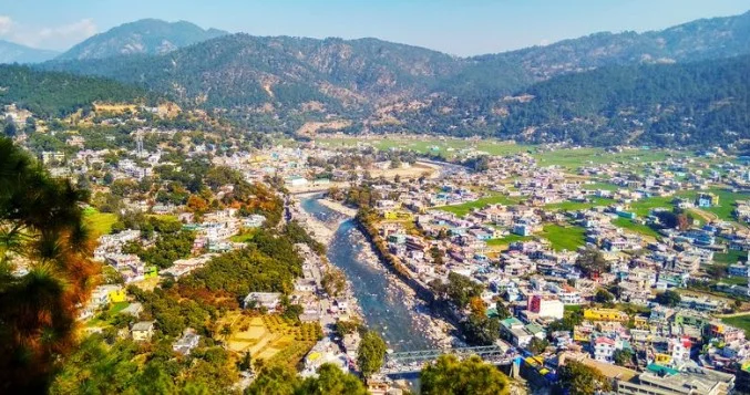
BAGESHWAR, Uttarakhand, Aug 3— Unregulated and unscientific mining in Uttarakhand’s Bageshwar district is destabilising fragile Himalayan slopes, triggering land subsidence, endangering villages, and threatening key water sources, a government-appointed expert panel has warned in a report to the National Green Tribunal (NGT).
The report, titled Geological Assessment and Recommendations for Sustainable Mining Practices in Bageshwar District, was submitted on July 30 following growing complaints from locals about landslides, widening house cracks, drying springs, and damage to agricultural fields in Bageshwar, Kanda and Dugnakuri tehsils.
“Mining has been carried out without regard for environmental safeguards,” the panel observed, adding that steep vertical cuts, lack of benches, and unplanned excavation had drastically altered the natural terrain.
The panel, which included experts from the Geological Survey of India, Uttarakhand Landslide Mitigation and Management Centre, Department of Geology and Mining, and Indian Institute of Remote Sensing, inspected 61 mining sites across the district. Their findings paint a grim picture of unchecked mining in a highly sensitive seismic zone.
“Bageshwar falls in seismic zone V, the highest-risk category in India. In such a region, unregulated mining can act as a catalyst for larger geohazards,” the panel warned.
The team documented widespread cracks, slope failures, rockslides and ground subsidence. Mining debris was frequently found dumped into natural streams, obstructing drainage and intensifying the risk of flash floods and slope collapse.
Several mining leases overlap with populated areas, farmlands and water sources, directly impacting village life. “Springs critical for drinking water and irrigation have dried up or experienced sharp reduction in flow,” the report stated.
The panel found that monitoring of mining operations was inadequate, with “no record of how slope modifications have evolved over time.” Satellite imagery and Synthetic Aperture Radar (SAR) data revealed clear signs of land deformation near several mines, pointing to the possibility of further subsidence.
Reclamation work in mined-out areas was found to be mostly cosmetic. “No serious effort has been made to ensure slope stability or ecological restoration,” the report noted.
Among its key recommendations, the panel has proposed:
- Mandatory slope stability assessments for all existing and future mines, to be reviewed by reputed academic institutions.
- Deployment of satellite-based SAR monitoring to detect real-time land movement.
- Installation of a local seismic monitoring network to track micro-earthquakes.
- Creation of a geo-referenced database of mining lease boundaries to identify overlaps with villages, farmland, or water sources.
- Aquifer mapping to gauge the long-term impact on groundwater reserves.
The panel also urged the adoption of sustainable mining techniques, including controlled blasting, engineered slope stabilization, proper waste disposal, and strict drainage management. It called for routine field inspections to ensure mining activities conform to environmental norms.
“Mining debris must not be dumped into streams, and reclamation should go beyond superficial measures,” the committee said, stressing that in-situ mining in geologically sensitive Himalayan areas like Bageshwar must be undertaken with extreme caution.
While the panel clarified that riverbed mining conducted within prescribed guidelines does not directly threaten seismic stability, it emphasized that surface mining in mountainous terrains demands far stricter scientific oversight.
The NGT is expected to review the findings in the coming weeks.

